Geographic Information Systems
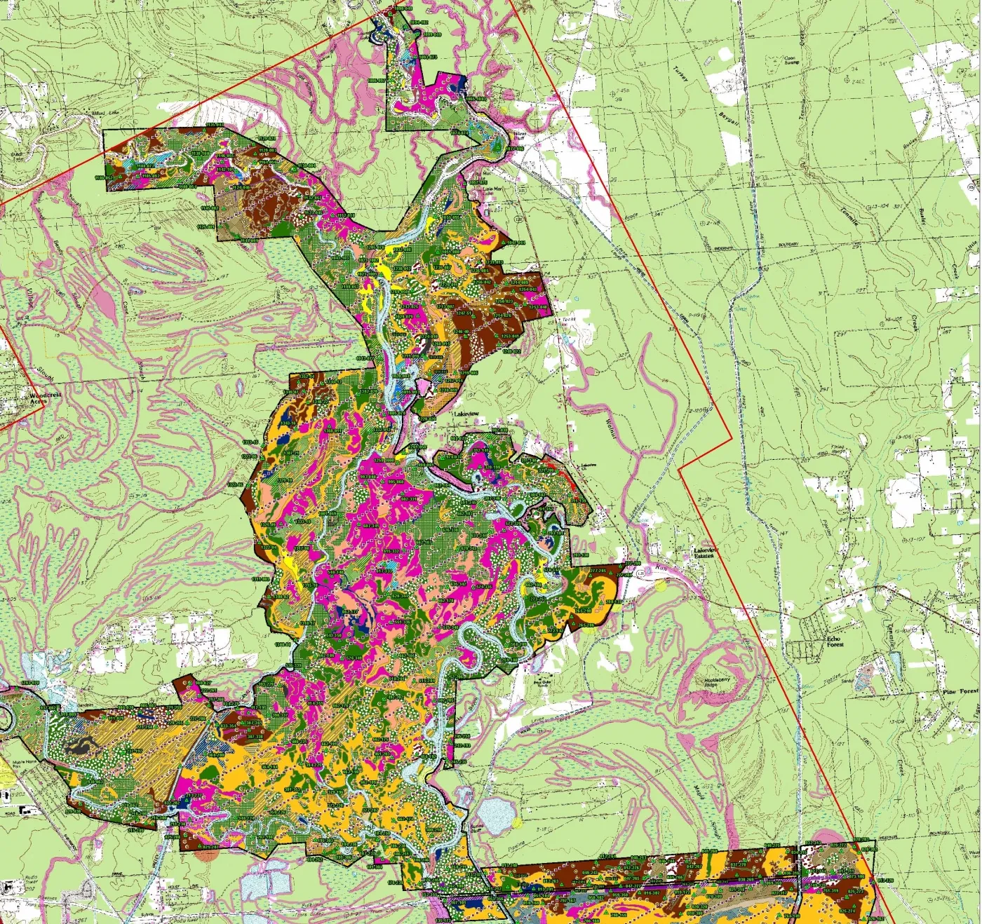
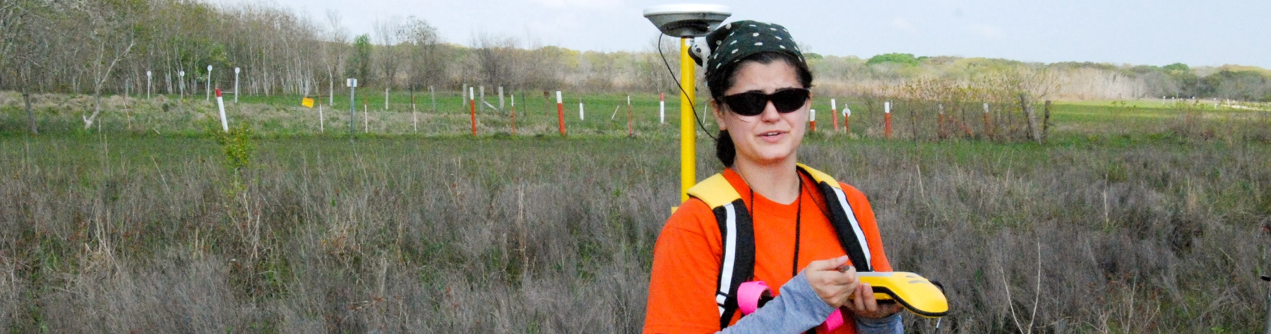
DESCO uses advanced geographic information systems (GIS) technologies to perform a variety of tasks, including map production, aerial imagery analysis, and impact assessments of sensitive resource areas. Our staff can generate maps that are appropriate for a variety of applications, including confidential client review, agency permitting and planning documents, or public meetings and outreach. Our team has expertise in ESRI ArcGIS, Global Mapper, and Garmin MapSource software, as well as AutoCAD data integration into GIS programs. Field cartographic data collection is completed with submeter-accuracy Trimble GPS units, handheld Garmin GPS units, and real-time kinematic (RTK) and total station devices.
Alliance-Level Vegetation Mapping, Big Thicket National Preserve, Texas