Rivers Edge 3D: NEPA and Section 404 Permitting, Wetland Delineations/Determinations, Biological and Cultural Resources Surveys, Vegetation Assessments, & Monitoring
Location: Hardin, Jasper, Jefferson, and Orange Counties, TX
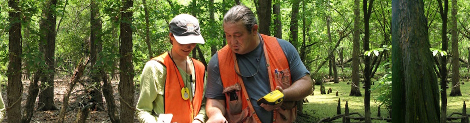
DESCO provided regulatory permitting and compliance monitoring services for a 97 square-mile 3D seismic survey project, which included portions of the Big Thicket National Preserve (BITH) and wetlands under the jurisdiction of the US Army Corps of Engineers (USACE). DESCO prepared a NEPA Environmental Assessment and conducted all resource surveys required by the National Park Service and USACE including T&E species surveys, wetland determinations, cultural resources surveys, and pre- and post-operational vegetation assessments of 17,000 acres within the Beaumont, Little Pine Island – Pine Island Bayou Corridor, Village Creek Corridor, and Lower Neches River Corridor units of the BITH. DESCO also provided biological and archeological monitors to help ensure compliance with permit stipulations on federal lands.

